Context
A major transport authority, working in partnership with a metropolitan council, launched a pilot program to better understand how people and vehicles move through a high-activity transport precinct. The area included a major railway station, surrounding footpaths and cycling routes, bus stops, taxi and loading zones, on-street parking including accessible bays, and adjacent hospital, education and parkland precincts.
The project aimed to collect accurate, real-time data over a six-month period to inform more effective planning and management of highly contested kerbside and public realm assets.
The Challenge
Urban transport precincts face growing pressure from competing demands across pedestrians, cyclists, public transport, private vehicles and service providers. Without reliable, continuous utilisation data, it is difficult for transport planners to allocate space equitably, improve safety outcomes and optimise network performance across different times of day and peak periods.
Traditional surveys and manual counts provided only limited snapshots and were insufficient for long-term, evidence-based planning.
The Solution
The transport authority engaged Meshed to deploy more than 100 IoT sensors across the precinct, including nCounter people counting devices, smart parking sensors and urban heat monitors.
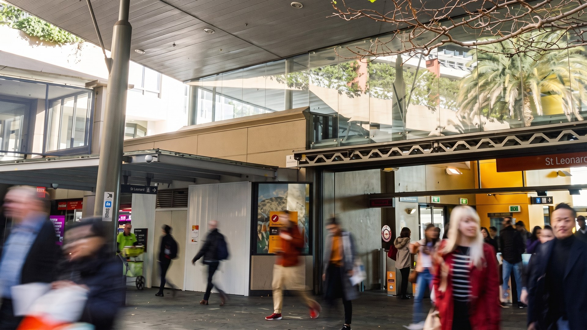
nCounters were installed at station entrances and exits, pedestrian overpasses, footpaths and bus stops, delivering continuous, fully anonymised pedestrian movement and dwell data via LoRaWAN.
The Outcome
The project delivered a clear, real-time understanding of how the precinct was used, supporting improved kerbside allocation, safer pedestrian and cyclist movement, better transport network performance and data-driven planning that enhanced accessibility, inclusion and economic activity across the precinct.
Combining people counting with parking and urban heat sensing on a single network is what made that possible. Pedestrian volume alone would not have answered a question about how to divide the kerb. The same multi-sensor pattern runs at a capital city waterfront precinct and across ports and cities.
Contested space is easier to divide when everyone is looking at the same numbers.