The City of Melbourne's IoT program is about digital transformation in service of places, using new technology to make its public spaces work better and its operations more efficient. In 2019 the council ran a competitive process around four City Challenge locations, inviting expressions of interest from industry.
A Challenge Set by the City
Meshed led the successful consortium for a Smart Argyle Square, bringing together AWS, Peclet, Phoria, Smart City Solutions, the University of Melbourne and City Wide Services. The objective had two halves. Give citizens and visitors a rich, engaging experience of the square, and give the council valuable data about how the park is actually used.
Most smart city projects deliver only the second half. The first half, making the data visible to the public it describes, is what made Argyle Square unusual.
Seeing the Park Through Your Phone
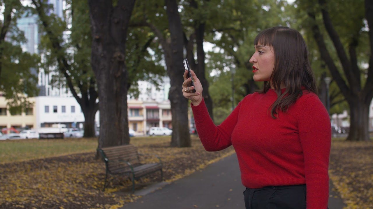
Phoria's augmented reality app turned the park's live data into something a visitor can stand in. Data collected through LoRaWAN-connected sensors is represented in a 3D AR experience on the visitor's smartphone, alongside rich imagery and historical detail about the square.
Point the phone at the park's bins and their live fill levels appear. Temperature and weather for the square sit in the same view. The infrastructure becomes legible to the people using the place it serves.
The Data the Council Kept
Underneath the AR layer, the council used the free LoRaWAN connectivity of The Things Network to collect operational data across the park's assets. Waste patterns, park patronage, use of the public sound stage, public toilets and seating, activity and movement across the square, and environmental readings covering air quality and micro-climate.
Peclet provided an open data platform for publishing those data sets internally and externally, with visualisations and dashboards for council users. The pattern echoes what the Sydney Fish Market pilot proved on a working precinct. Ordinary assets, left where they are, can become sources of operational intelligence.
What Happened Next
The City of Melbourne went on to extend free-to-access LoRaWAN coverage by installing additional Things Network gateways in the city, augmenting the University of Melbourne's coverage and that provided by other individuals and enterprises. The council is using that coverage for further environmental monitoring and insight.
That is the quiet success measure for a challenge project. Not the showcase itself, but whether the city keeps building on the infrastructure after the showcase ends.
A park that shows people its own workings earns something rare for infrastructure. Attention, and trust.