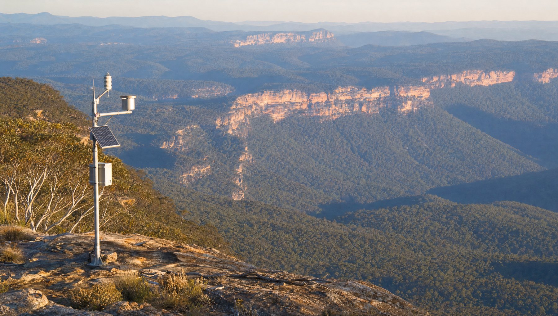
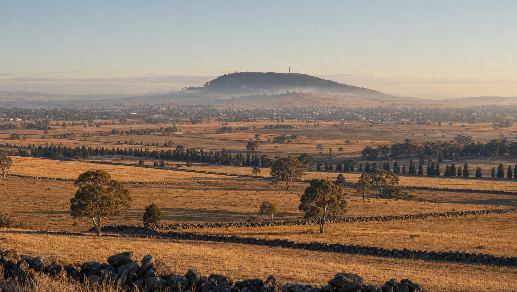
Rural councils have the hardest version of the asset management problem. The assets are the same as a metropolitan council's, being water tanks, roads, drains, buildings and open space, but they are spread across areas an order of magnitude larger, with fewer staff to inspect them and longer distances between each visit.
Connectivity is usually where these projects stall. Cellular coverage is patchy outside the towns, and paying a data plan for every sensor does not scale to the number of assets a shire actually owns.
The Smart Shires consortium took a different route. Rather than each council solving connectivity for itself, the three treated the network as shared infrastructure.
What was funded, and what it buys
The project was funded through the Victorian Government's Rural Councils Transformation Grants program, which contributed $250,000 to each of the three councils, $750,000 in total.
Meshed was awarded the contract to supply 30 base stations along with maintenance, professional services and the sensor devices themselves. The resulting footprint connects to existing coverage at the City of Ballarat, the City of Greater Geelong and Corangamite Shire, which is what makes the scale unusual. Meshed co-founder Paul McManus described the combined result as one of Australia's largest contiguous free-to-access networks of its kind.
Who gets to use it
This is the part that distinguishes the model.
The network runs in two modes on the same base stations. Council and commercial users who need guaranteed service can run their sensors on MeshedX, the private managed network with enhanced service levels. Everyone else, meaning residents, farmers and local businesses within the coverage area, can connect sensors to The Things Network at no transmission cost.
That second mode matters more than it sounds in an agricultural shire. As McManus put it, a large proportion of the consortium's land is agricultural, so farmers can deploy sensors to cut costs and lift productivity without negotiating a connectivity contract first.
The councils can also charge commercial third parties and utilities for network access, which offsets the cost of maintaining it and avoids the same masts being built twice by different organisations.

What the councils are measuring first
The initial use cases the consortium identified are deliberately practical.
- People and traffic counting
- Soil moisture
- Water tank monitoring
- River flood level
- Micro-climate sensing
- Electric fence monitoring
None of these individually justifies building a network. Together, on shared infrastructure, each one becomes close to free to add. That is the economic argument for treating connectivity as a utility rather than as part of each project.
Why the shared model travels
Councils with adjoining boundaries almost always have overlapping needs and separately funded technology budgets, which tends to produce duplicated infrastructure that covers less ground than one coordinated build would.
The Smart Shires structure is worth studying because it solves the funding problem and the coverage problem at the same time. Three grants become one network. Three coverage footprints become one contiguous area. And the ongoing maintenance cost is defrayed by third parties who want access to a network that already exists.
More on government IoT · smart cities.
This contract award was reported independently by IoT Hub, Australia's Internet of Things trade publication.
“Meshed IoT secures LoRaWAN base station, IoT sensor contract with Victorian councils”, IoT Hub, 21 November 2022.
Real-time intelligence across your entire shire.