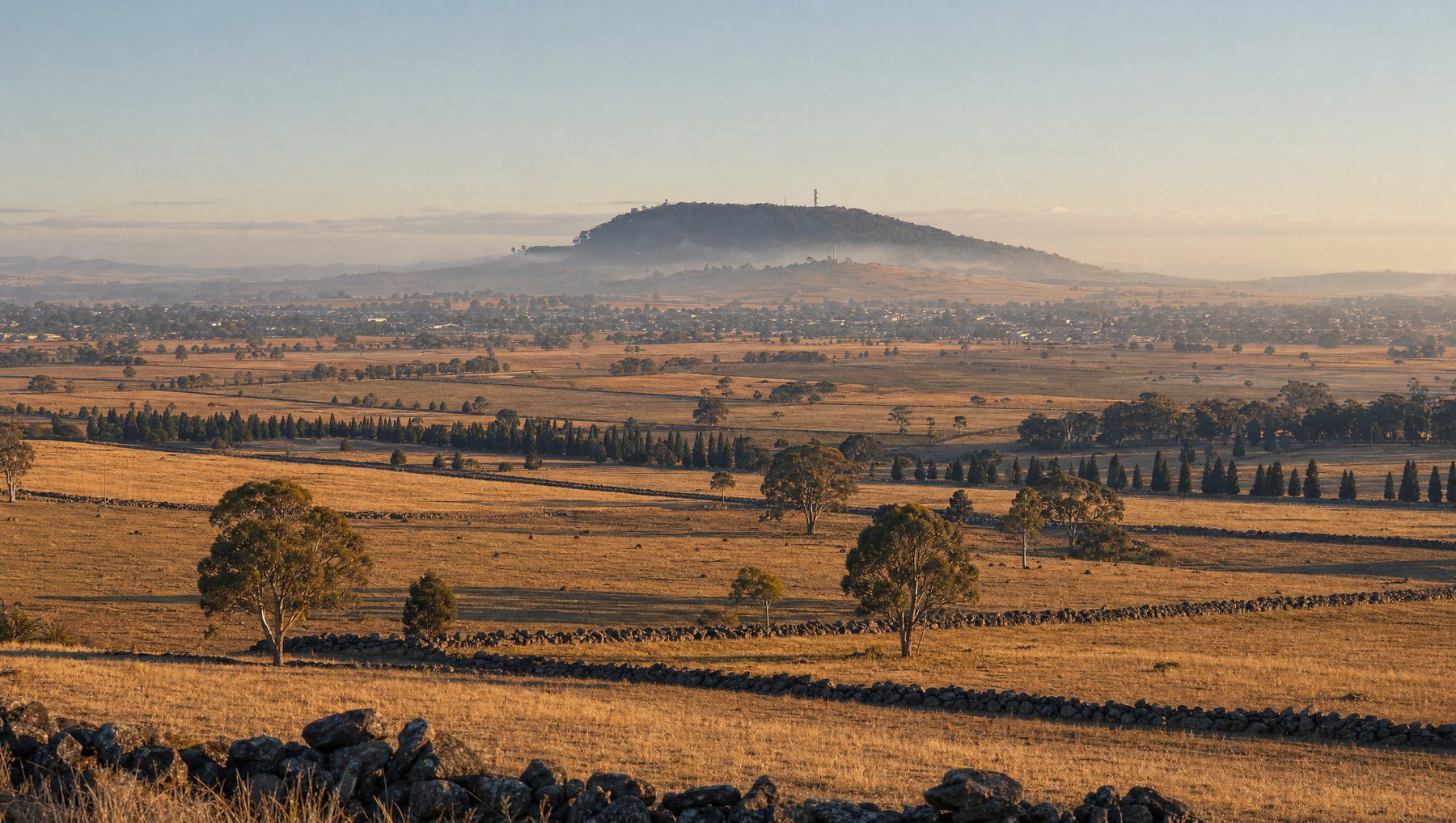
Hazard reduction burning is one of the few tools that meaningfully lowers bushfire risk before a season starts. It is also one of the hardest to schedule. Conditions have to be safe enough to control the fire and dry enough for it to carry, and in some country that combination might occur on only a handful of days across several years.
The practical problem is not knowing when those days arrive. Remote sites are expensive to inspect, so they get inspected rarely, and crews were working from Bureau of Meteorology weather data that describes the region rather than the specific block of bush in question.
This work was carried out with NPWS and the NSW Department of Planning and Environment, under a contract awarded through the NSW Office of the Chief Scientist as part of the NSW Bushfire Response R&D Mission. It was a finalist in the Environmental Monitoring category of the 2024 Australian IoT Awards.
Why is a burn window so hard to find?
Four things have to be true at once. The wind has to be light enough and blowing the right way. Temperature and humidity have to sit inside a safe band. The fuel, meaning the leaf litter and understorey that will actually burn, has to be dry enough to carry fire but not so dry that it becomes uncontrollable. And crews have to be available on the day.
The first three change constantly and the fourth cannot be booked at short notice. Fuel moisture is the hardest of the four to judge from a distance, because it depends on how much rain fell weeks ago, how much sun the site has had since, and how the vegetation itself is responding. A regional forecast cannot tell you that. Standing in the bush with a moisture meter can, but only for the day you are standing there.
What the sensing stations measure
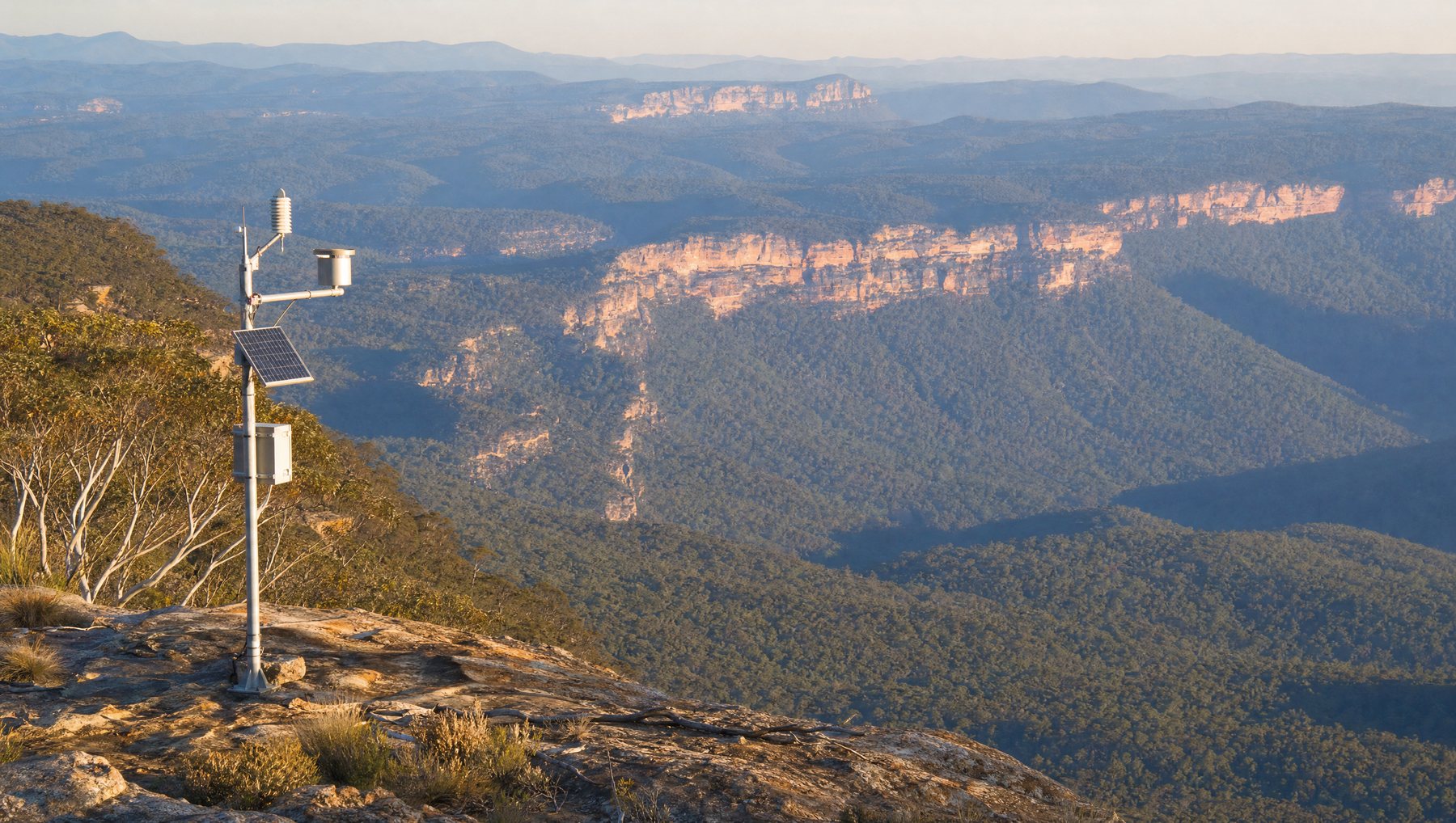
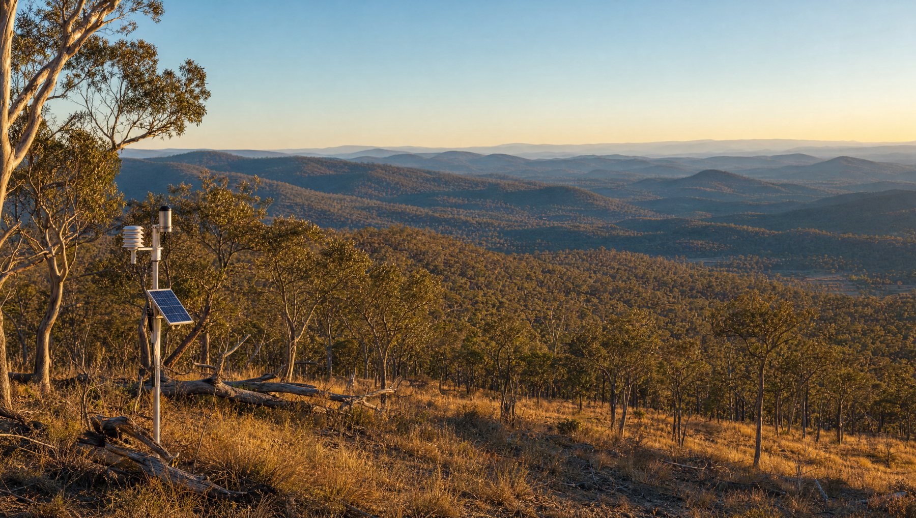
Meshed designed and installed three solar-powered sensing stations, each combining environmental sensors with its own network gateway so the site does not depend on existing coverage.
Between them they report six measures.
- Weather and wind speed, the safety envelope for the burn itself
- Rainfall, the input that drives everything downstream
- Soil moisture, the slow indicator of how wet the site really is
- Fuel moisture, the direct measure of whether the available fuel will carry fire
- NDVI, the normalised difference vegetation index, a measure of how healthy and dense the vegetation is
Readings arrive every 15 minutes. Data travels over a network built for the purpose and is backhauled over cellular from sites with no other connectivity, then lands on a cloud dashboard where it is analysed and visualised.
The sensors themselves were adapted for the job. Off-the-shelf scientific instruments of this type log their readings locally and wait to be collected, which is exactly the constraint that made remote sites so hard to monitor. Meshed customised them to transmit in real time instead, working with ICT International on the scientific sensing.
What changed for NPWS
The important shift is not that staff get more data. It is that they can now watch the drying curve.
Because readings arrive continuously rather than on the day someone visits, NPWS staff can see the rate at which vegetation is drying out and judge when a site is approaching a burn window. That tells them when it is worth sending a crew to take the detailed manual measurements a burn still requires. Previously that judgement was not available to them at all.
According to the project's awards nomination, the work has saved NPWS time and money by reducing the need to physically inspect potential burn sites, and has increased staff engagement with technology partners.
The service has since acquired a further six gateways of its own to extend monitoring into other areas. Humidity, solar radiation and vapour pressure deficit have been identified as candidates for the next round of measurement. The data can also feed the response and asset management systems NPWS already runs.
Where this applies beyond bushfire
The pattern generalises. Any organisation making operational decisions about remote land is usually making them on regional averages and infrequent site visits, because the cost of continuous measurement used to be prohibitive.
Solar power removes the need for mains, an onboard gateway removes the need for existing coverage, and cellular backhaul carries the data out of country where nothing else reaches. That combination is what makes the economics work at three stations, and it is the same combination behind environmental monitoring for councils, catchment authorities and land management agencies.
More on government IoT · environmental monitoring.
This deployment was reported by IoT Hub, Australia's Internet of Things trade publication.
“How Meshed used IoT to help NSW Parks & Wildlife Service improve bushfire risk mitigation”, IoT Hub, 20 June 2024.
“Meet the Environmental Monitoring Award finalists in the IoT Awards”, IoT Hub, 26 April 2024.
Real-time intelligence across your entire landscape.